
1947
Established Sanro Kogyo Co., Ltd. (later renamed Kokusai Fudosan Co., Ltd.)
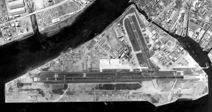
The predecessor of Kokusai Kogyo. With the resumption of Japan’ s air trans- port business, started off as asset management company, receiving invest- ment in kind from Imperial Japanese Airways, such as land and accessory facilities at Haneda and other main domestic airports
1949
Established Nippon Kosoku Co., Ltd.
Entered aerial photography mapping business with the aim of creating maps essential for post-war reconstruction
1956
Developing the very first national railways
(1/2,500 mapping for Yusubaru Line)
Japan entered period of high economic growth. Mapping business supported infrastructure development for railways and other industries

1962
Developing Tomei Expressway
1972
Established Kyoritsu Air Survey Co., Ltd.
Established company to operate aircraft for aerial photography

1979
Introduced Calma’s CGI system (start of GIS initiatives)
Productivity was dramatically improved by computer mapping following introduction of CGI system capable of handling map data visually on computer

1985
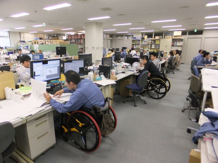
Established Tokyo Data Systems (now known as TDS) Co. Ltd.
Through joint investment with Tokyo Metropolitan Government, established data editing company to promote employment of people with disabilities as a special subsidiary company
2000
Aircraft-mounted laser scanner have introduced
Used in disaster-prevention simulation and 3D urban modeling

2011
Japanese GIS company has joined UNISDR’s PSAG
Joined the Private Sector Advisory Group (PSAG) of the United Nations International Strategy for Disaster Reduction (UNISDR).
2013
The Chairperson and CEO of Japanese GIS company has bacame UNISDR's PSAG Chair