Save the Earth, Save the People.

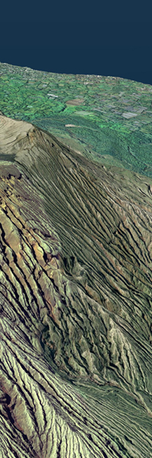
Japan is one of the most disaster-prone countries in the world. Accurate grasp of the disaster situation, analysis using geospatial information technology, reconstruction support, formulation of disaster prevention plans, readiness in ordinary times, provision of information to local residents and other expertise related to disasters is required not just in Japan but all over the world.
Accurate investigation of disaster situation
To minimize damage caused by disasters, it is necessary to grasp the extent of the damage speedily and accurately. When an earthquake, tsunami, volcanic eruption, flood, debris flow, landslide or other disaster occurs, it is needed to rapidly obtain detailed wide-area damage information by satellite, aircraft or unmanned aerial vehicle (UAV) mounted radar equipment and high-definition cameras. Analyzing the acquired data and provide advanced information on the tsunami arrival point and extent of structural damage is very important.
When the Great East Japan Earthquake occurred on March 11, 2011, we used satellite image data to provide speedy predictions of wide area damage by tsunami.
Predicting and preparing for disasters
Disaster prevention and risk reduction require damage estimation and countermeasures based on an accurate grasp of the situation. Comparing and analyzing the situation before and immediately after the occurrence of a disaster are essential. Nevertheless to say, providing visualization through numerous hazards simulation (including earthquakes, tsunami, fires, volcanic eruptions, falling ash, flooding, high tides, landslides and debris flows) and support the development of appropriate countermeasures are foundation of predicting and preparing to disasters.
